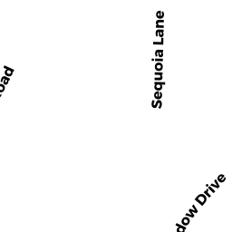
12 SEQUOIA LN
Owner Information
SILVA JAMES J + CATHY H
12 SEQUOIA LN
N ATTLEBORO, MA 02760


Property Details
12 SEQUOIA LN is classified as a Single Family Residential (Colonial).
The primary structure on this property was built in 1995. There are 4,482ft2 of built area within this property. There is 2,096ft2 of residential/living space within this property.
12 SEQUOIA LN is valued at $453,400. The land is valued at $152,700 and the structures are valued at $291,000. There is an additional valuation of $9,700 on this property.
The most recent deed for 12 SEQUOIA LN is recorded at the local registrar in Book 06526, Page 0021. 12 SEQUOIA LN was last sold on Monday, October 30, 1995 for $208,900.
Assessment data from fiscal year 2022.
Flood Data
According to the FEMA National Flood Hazard Layer, this property does not appear to be in a flood zone. It may also be in an area not yet reviewed. Nonetheless, confirm this information prior to taking any action.
To view the flood hazards around this property, create a FEMA "Firmette" Map of the area around 12 SEQUOIA LN.
Broadband Internet Providers
| Provider | Type | Bandwidth (mbps) | |
|---|---|---|---|
| Comcast | Cable | 1000 | 35 |
| Viasat Inc | Satellite | 100 | 3 |
| VSAT Systems, LLC. | Satellite | 2 | 1 |
| HughesNet | Satellite | 25 | 3 |
| GCI Communication Corp. | Satellite | 0 | 0 |
| Verizon New England Inc. | DSL | 5 | 0 |
| Verizon New England Inc. | Fiber | 940 | 880 |
Broadband service provider data from December 2020.
Adjacent Properties
- 21 HIGHLAND MEADOW DR
Single Family Residential owned by BRULE ELISE M - 22 SEQUOIA LN
Single Family Residential owned by NARDI GRAIG M + KATINA M - 51 HIGHLAND MEADOW DR
Single Family Residential owned by REIMER CHRISTIAN C + CRYSTAL L - 41 HIGHLAND MEADOW DR
Single Family Residential owned by TRISOLINE RICHARD A + SUSAN L